October 29, 2026 · 6 min
7 of the Best Running Routes in Montréal, with Strava Maps
Seven Strava routes from 5 to 20 km: Mount Royal, the Plateau, Lachine Canal and more. Live maps, distances and tips for visitors.
Seven Strava routes from 5 to 20 km: Mount Royal, the Plateau, Lachine Canal and more. Live maps, distances and tips for visitors.
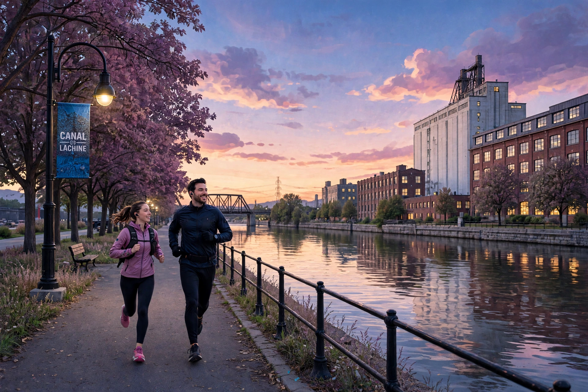
Montréal is built for running. Parks, neighbourhood streets and canal paths turn a morning 5K into part of the trip.
Here are seven routes shared on Strava, from 5 to just over 20 km. These are our picks from local running resources, not an official Strava ranking. Distances cover the full linked route, connecting streets included. Each map below is live from Strava.
Distance: 5 km · Elevation gain: 38 m
City streets and green space at the foot of Mount Royal. Our pick when you want a run without a long commitment. The route stays below the summit. On a first visit, allow time for crossings.
Distance: 5 km · Elevation gain: 9 m
Plateau streets linked to Parc La Fontaine and Baldwin Park. The lowest climb in this list. Keep the pace easy and leave time to wander the neighbourhood after.
Distance: 5.09 km · Elevation gain: 14 m
A compact loop around Laurier Park. Choose it when the start is close to where you sleep. At 6:30 per kilometre, count about 33 minutes of running, plus stops.
Distance: 10.04 km · Elevation gain: 44 m
A full 10K from Le Club's running collection. Best on a morning with time to settle into a rhythm. Review the whole map first. The name doesn't describe every street you'll follow.
Distance: 14.31 km · Elevation gain: 25 m
Kenneth Trueman's public route, "Out to end of Lachine Canal", also listed in the run-training section of Montréal's 2023 Americas Triathlon Cup athlete guide. Check the start and finish on the map. On shared paths, watch for cyclists and leave room to pass.
Distance: 15.14 km · Elevation gain: 27 m
Parc La Fontaine, Hochelaga and Maisonneuve Park in one line. At 6:30 per kilometre, about 98 minutes of running. Plan your water before you leave, and know how the finish fits the rest of your day.
Distance: 20.32 km · Elevation gain: 78 m
Laurier, Père-Marquette, Frédéric-Back and Villeray parks. For runners already at ease with long outings. Bring your usual water and fuel, and know where you could cut it short. Training for a half? It's a little under 21.1 km.
The best one also depends on where you're staying. Compare your hotel with the route's real starting point.
A run shows you a different Montréal, between meetings, sights and dinner reservations. In town for a race weekend or a full schedule? Your driver handles the rest: the airport, your hotel, the start line. Book your ride or see our airport transfers.